
Seventy-five percent of Langley Township sits inside the Agricultural Land Reserve, protecting some of the best farmland in Canada. But the pressure to build is relentless and the decisions being made right now will shape what this community looks like for the next generation. We talked to people on the ground about what they are seeing.
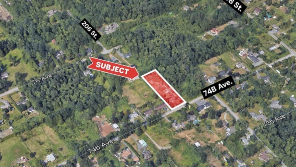
Stand anywhere in south Langley on a clear morning and the contradiction is right there in front of you. Blueberry fields running for miles in one direction, a wall of new townhouses going up in the other. A red-tailed hawk circling above an ALR property on one side of the road, a construction crew prepping a subdivision on the other. Langley is a community that is genuinely at war with itself over land, and the outcome of that fight is going to define what this place looks like in 20 years.
The stakes are real. Approximately 75 percent of the Township of Langley sits inside the Agricultural Land Reserve, the provincial zone created in 1973 to protect BC’s farmland from being consumed by development. The ALR covers roughly five million hectares across BC, and a significant chunk of it runs right through the Fraser Valley, where the soil is some of the most productive in the entire country. Langley’s farmers grow cranberries, blueberries, raspberries, strawberries, dairy, and vegetables on land that took centuries to become what it is. That land, once paved, is gone forever.
But Langley is also one of the fastest growing municipalities in BC, and the pressure to accommodate that growth somewhere doesn’t go away just because there’s a provincial boundary line on a map.
What the ALR Actually Means for Langley Landowners
A lot of people who move to Langley, especially from Metro Vancouver, buy a large lot in south Langley and assume they can eventually develop it however they want. They are often surprised to discover that their property is inside the ALR and the rules around what they can do are significantly more restrictive than on urban land.
Inside the ALR, the default assumption is that the land exists to grow food. You can build a home, but with size limits. You can operate a farm business, host agri-tourism, and in some cases add a secondary residence for family or farm workers. What you generally cannot do is subdivide the property into small residential lots, run a commercial business unrelated to agriculture, or change the land use in ways that reduce its farming potential, without first applying to the Agricultural Land Commission and making a strong case.
Those rules exist for good reason, and the ALC enforces them seriously. But they create real complexity for landowners who are trying to prepare, develop, improve, or transition their properties. Grading, drainage, earthmoving, clearing, and land preparation work on ALR properties has to be done in a way that respects both the provincial regulations and the long-term agricultural value of the soil. Getting that wrong is expensive, and getting it right requires working with people who understand the rules.
On the Ground: What a Local Excavation Contractor Sees Every Day
David Dhillon knows Langley’s land better than most people. As the owner of Delta Excavation Services, he and his team have been working on properties across the Fraser Valley for years, doing the kind of ground-level work that most people never see but that every development, farm improvement, and construction project depends on. Excavation, grading, site preparation, drainage work, land clearing. The stuff that happens before the first wall goes up or the first crop goes in.
We sat down with David to ask him what he’s seeing on the ground as Langley continues to grow and the tension between farmland protection and development pressure intensifies.
According to David, one of the most common projects his team handles on ALR land is drainage improvement, and it’s work that directly supports agriculture. Fraser Valley farmland is naturally prone to waterlogging, especially after the kind of wet winters Langley gets every year. Proper drainage tile systems and grading work can make the difference between land that’s actively productive and land that sits flooded and unusable for months at a time. It’s unglamorous, invisible work, but it keeps farms viable.
What I see is two completely different worlds, sometimes on the same street. One side you have a farmer who has been working the same ALR land for 30 years and just needs better drainage or a new access road to keep the operation going. Fifty meters away, somebody is breaking ground on a 200-unit townhouse project. That’s Langley right now. It’s both things at once.
On the development side of his work, David says the pace has been noticeable over the past several years, though he agrees with the observation from several Township councillors that things have slowed somewhat from the peak of the Willoughby boom. Site preparation work in the Township’s urban areas, earthmoving for new subdivisions, foundation prep, utility trenching, and grading for roads and drainage infrastructure, all of that activity reflects what’s happening with the development pipeline.
“When Willoughby was really firing on all cylinders a few years ago, we were busier than we’d ever been,” he says. “You had multiple large projects going at once and everybody needed site work done at the same time. It’s leveled off a bit but there’s still a lot happening. Langley isn’t done growing, not even close.”
The Tension That Won’t Go Away
The conflict between farmland preservation and development pressure isn’t new in Langley, but it is intensifying. Recent planning decisions at Township council have drawn attention to just how thin the line is between protected agricultural land and land that could be rezoned for other uses if the right application is submitted and the right case is made.
Earlier this year, a local Farmland Trust raised alarms about a proposed industrial rezoning near Campbell Valley, arguing it would set a dangerous precedent for ALR properties in south Langley. The ALC has ultimate authority over ALR land at the provincial level, but municipalities can influence what happens at the edges and in the grey zones, and the cumulative effect of small decisions can add up.
David Dhillon has watched this tension play out on the ground for years. “The ALR is important. I’ll say that clearly. Some of the farmland in south Langley is genuinely world class and once it’s gone it doesn’t come back. But the land also needs to be managed properly to stay productive. Drainage, grading, access, infrastructure. If the regulations make it too hard to do basic land maintenance work then you end up with properties that technically have ALR protection but practically aren’t being farmed at all. That’s not a good outcome for anyone.”
It’s a point that land use researchers have also noted. Studies of the ALR in Metro Vancouver have found that a significant portion of protected land is not actively farmed, partly due to high land values making farming less profitable than simply holding the land, and partly due to aging farm operators without succession plans. A 2016 study found that over 29,000 acres of ALR land in Metro Vancouver was essentially sitting unused, neither being developed nor actively farmed.
Where This All Goes
There are no easy answers to Langley’s land question. The ALR represents a genuine and important commitment to protecting agricultural land from development, and the majority of Langley residents support that protection when asked. At the same time, the community is growing, housing is needed, and the infrastructure demands of a rapidly expanding population are real.
What is clear is that the decisions being made right now, the development applications approved or denied, the drainage and grading work done or deferred on farm properties, the industrial rezonings that nibble at the edges of the ALR, will compound over time. Langley in 2046 will look very different from Langley today, and the shape of that difference is being determined by the choices happening right now at the Township’s planning office and on the ground across its farmland.
For contractors like David Dhillon and the many others working daily on Langley’s land, the work itself is the most honest measure of what’s happening. More excavation and site prep in Willoughby tells you something. More drainage calls in south Langley tells you something else. Taken together, they tell the story of a community that hasn’t fully decided yet what it wants to be.
